

July 2, 2014
We woke up in the vacant lot,
with the sound of water hitting the beachfront. The twilight, had never really faded into the
starlight, just barely let us glimpse the volcanic mountains on the other side
of the water, but perhaps that had been our darkest night in several
nights. We cooked a quick breakfast before
heading out on the road, yet again.


\
 After returning to the main road, we once
again took the next side road, Kasilof Beach Road back toward the inlet. It led to the grassy mud flats at the mouth
of the Kasilof River, where again the water was filled with fishermen.
After returning to the main road, we once
again took the next side road, Kasilof Beach Road back toward the inlet. It led to the grassy mud flats at the mouth
of the Kasilof River, where again the water was filled with fishermen. 

Kasilof River is a glacial river, draining from the largest lake in the peninsula, Lake Tustumena. We passed the worn and gray, McLane Building, current home of the Kasilof Regional Historical Museum. The building had once been a cannery hospital In the 1890s, before it had been moved away from the mouth of the Kasilof River. It had been the Kasilof Territory school from 1937 to the 1950s.


We returned to pavement and continued on our way to
Homer. Our next scheduled stop was in
Clam Gulch, where we wanted to dig for clams.
However, at the time of day, we arrived the tide was in and digging for
clams wasn’t much of an option. We
paused to take in the views of Mt. Redoubt, Mt. Lliama, and Mount Spurr, across
the inlet, but we took no delay at all in continuing down the road.


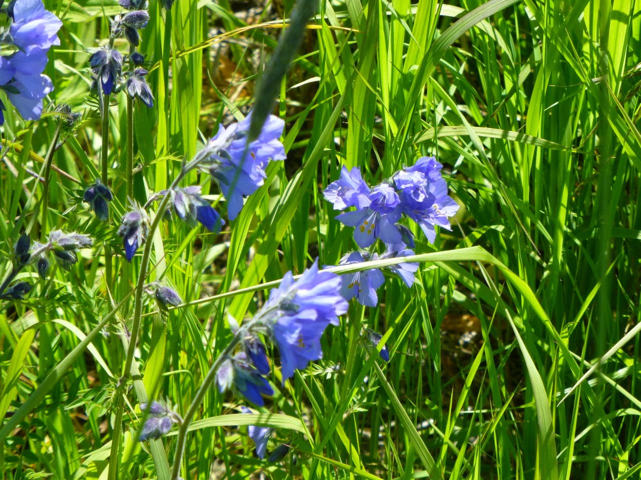
We paused again, at Deep Creek, to use the restroom and to
take in the air. The wildflowers were in
full bloom as we overlooked the creek.


We continued our drive, overlooking Cook Inlet to our
right, into Homer, AK.


We turned back on the highway, now, heading the direction we
had come. However, we did not stop and
fill up the tank with gasoline, like we should have.


We made good time on the way back, but before we could return
to Portage for fuel, our gas gauge hovered on empty. We stopped in the same parking lot we had
spent the night before in, to pour in our reserve two gallons, so we could make
it to the gas station. We re-fueled for
4.38/gallon, and double-backed down toward Portage Glacier Road, watching
kite-surfers in the bay.


We would not be travelling all the way to Whittier.

Before the access road was built, the only
access to Whittier had been through train.
 Part of the vehicle access spur, when it was built, included the
modification of the Anton Anderson Memorial Tunnel to allow the use of the one
lane for alternating between train and vehicle.
This cost not only a toll, but the amount of time spent waiting for the
lane to switch traffic types. We would
be turning around before entering the 2.5 mile tunnel.
Part of the vehicle access spur, when it was built, included the
modification of the Anton Anderson Memorial Tunnel to allow the use of the one
lane for alternating between train and vehicle.
This cost not only a toll, but the amount of time spent waiting for the
lane to switch traffic types. We would
be turning around before entering the 2.5 mile tunnel. 


However, we were able to get some good views of the
mountains and of Portage Glacier itself.


We returned to the main road, only to take the next like
side spur of the Alyeska Highway. We
were hoping to catch some good views, but were disappointed to only find views
of the ski resorts.


We again returned to the main road, and on into
Anchorage. There, we got on the Parks
Highway, once known as the Anchorage-Fairbanks Highway when it was constructed
in 1971. It was renamed in 1975 the
George A. Parks Memorial Highway, after the territorial governor from
1925-1933. This highway connects two of
the major population centers of Alaska.


We entered a flat valley, with magnificent mountain views on
all sides. We drove close to our
destination for the next day, and found a little pull-off on the side of the
road, under the shadow of Mt. McKinley and the rest of the range, to set up our
camper. Here, a good rest was had by
all.

**Since this entry was wrote/experienced Mt, McKinley has since been renamed to Denali. This entry does not reflect the changes, nor will it, so that the entries remain historically accurate. **
No comments:
Post a Comment